
How to Use the Soil and Water Assessment Tool for Pond Site Planning
Planning your first pond? Before you dig, you need to know whether your land will hold water. The Soil and Water Assessment Tool (SWAT) is a computer model developed by the USDA that predicts how water moves across and through your property, helping you understand drainage patterns, runoff, and whether your soil will naturally seal a pond. While SWAT was originally designed for large-scale watershed studies, simplified site assessment principles borrowed from it can guide DIY pond builders in choosing the right location and understanding potential water loss.
Here’s the truth: full SWAT modeling requires GIS software, terrain data, and a learning curve that most homeowners don’t need. What you do need is a practical understanding of how your soil type makes or breaks your pond project, where water naturally flows during rain, and whether you’re building in a spot that will stay wet or drain dry.
This guide strips away the complexity and shows you how to apply SWAT’s core concepts using hands-on observation, simple tools, and free online resources. You’ll learn to read your landscape like a hydrologist, verify your findings in the field, and make confident decisions about pond placement, liner needs, and realistic water retention. Whether you’re working with heavy clay that holds water beautifully or sandy soil that drains like a sieve, understanding your site’s hydrology transforms guesswork into smart planning.
What You’ll Need to Get Started
Before you dive into SWAT modeling, gather the essentials. You’ll need basic site information, some accessible tools, and a realistic sense of your comfort level with data entry. Start with measurements and observations from your property, then decide whether to tackle the software yourself or lean on simplified alternatives.
Here’s what to collect:
- Topographic data: slope percentage, high and low points, drainage direction
- Soil type: clay, loam, sand, or mixed composition from local soil surveys or hands-on testing
- Average annual rainfall and seasonal patterns for your area
- Site size and pond dimensions you’re planning
- Access to SWAT software (free download from Texas A&M) or online hydrology calculators
- Measuring tape, stakes, and a level for field measurements
- Local USDA soil maps or Natural Resources Conservation Service data
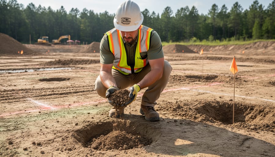
For topography, a basic transit level or smartphone clinometer app works fine for small sites. You don’t need surveyor-grade precision. Soil information often comes from county extension offices or the Web Soil Survey, which maps soil types down to your property boundaries. Rainfall data is available through NOAA or local weather stations.
If you’re comfortable with spreadsheets and following prompts, the full SWAT software is manageable, though it has a learning curve. Many pond builders prefer simplified runoff calculators based on SWAT runoff and sediment modeling principles, these skip the complexity while giving you usable estimates.
When things get murky, like reading confusing soil survey codes or interpreting watershed boundaries on your property, a consultation with a hydrologist or soil scientist saves headaches. Budget a few hundred dollars if you want someone to validate your inputs or run the model for you. For straightforward sites with obvious slopes and well-documented soils, DIY is absolutely doable.
Important Limitations and When Not to Rely on SWAT Alone
SWAT is a powerful planning tool, but it’s not magic, and it definitely isn’t a substitute for getting your hands dirty with actual site testing. The model relies on generalized data about soil types, rainfall patterns, and topography, which means it works best for larger watersheds and agricultural landscapes where those averages hold true. For a backyard pond project, especially on a small lot, SWAT’s predictions can miss critical details that only show up when you dig a test hole or watch how water actually moves across your property during a storm.
SWAT struggles in a few specific situations. If your site is less than an acre, the model’s watershed-scale assumptions may not apply. Complex urban or suburban environments with existing drainage systems, buried pipes, or altered grading throw off the predictions because SWAT can’t account for all that human-made infrastructure. Unique soil conditions, like layered clay over sand, compacted fill dirt, or rocky subsoil, won’t match the generalized soil database entries, leading to wildly inaccurate infiltration rates.
Think of SWAT as your first step, not your last word. It gives you a useful starting point and helps you ask the right questions, but you’ll need real-world testing to confirm whether your soil actually drains as predicted, whether runoff flows where the model says it will, and whether your water table behaves as expected. Combining SWAT with physical assessment catches problems before they become expensive surprises.
Step-by-Step: Running a SWAT Assessment for Your Pond Site
Collect Your Site Data
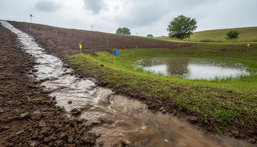
Start by mapping out your property’s basic features. You’ll need a rough sketch showing slopes, low spots, and where water naturally collects after heavy rain. Walk your site during and after storms to identify drainage patterns, look for erosion channels, standing puddles, and areas where runoff flows fastest.
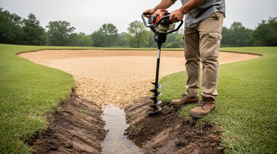
For soil type, the USDA’s SSURGO soil map data provides free detailed information by entering your address or coordinates. This database classifies your soil’s texture, drainage capacity, and depth, critical inputs for any SWAT-based assessment. Cross-check these findings with a simple percolation test: dig a hole, fill it with water, and time how fast it drains.
Rainfall data comes from local weather stations or NOAA’s online records. You need average annual precipitation and typical storm intensities for your area. Many county extension offices publish this information in easy-to-read formats.
Don’t skip measuring your property’s elevation changes. A basic surveyor’s level or smartphone apps can help identify high and low points, which determine where water will naturally flow toward your future pond.
Input Data into SWAT or a Simplified Calculator
The full SWAT software requires a steep learning curve, you’ll need GIS skills, watershed delineation experience, and hours of setup time. For most pond projects, that’s overkill. Instead, look for simplified hydrology calculators that apply SWAT-like principles without the complexity.
Search for “runoff coefficient calculator” or “SCS curve number calculator” online. These tools use the same soil and rainfall data you’ve gathered but skip the advanced watershed modeling. You’ll typically enter your soil type (from the hydrologic soil group you identified earlier), land cover (lawn, forest, bare ground), and a design storm amount (like a 2-inch rainfall event). The calculator returns an estimated runoff volume in gallons or cubic feet.
Don’t expect pinpoint accuracy from free tools. They give you ballpark figures, enough to know whether your site generates heavy runoff that demands overflow planning or minimal runoff that might require supplemental water sources. If your pond project involves significant investment or environmental risk, consider hiring a hydrologist who can run proper SWAT analyses. For backyard ponds under 1,000 square feet, simplified calculators usually provide sufficient guidance.
Read and Interpret the Results
Once you’ve run your SWAT assessment, you’ll see several key outputs. Don’t worry if the numbers look technical at first, here’s what they actually mean for your pond.
Runoff volume tells you how much water flows across your site during rainfall. For example, a result showing 5,000 gallons of runoff in a typical storm means your pond could capture substantial rainwater naturally. That’s useful information if you’re planning a self-watering pond that relies on seasonal rain rather than topping up with a hose.
Infiltration rates show how quickly water soaks into your soil. High infiltration (more than 2 inches per hour) suggests you’ll need a liner to hold water. Low rates mean your soil might naturally seal, but you’ll want to verify that with hands-on percolation testing.
Sediment load predictions estimate how much soil erosion you’ll face. Heavy sediment means you’ll need to plan erosion controls upslope, berms, plantings, or diversion channels, to keep your pond from turning into a mud basin after every rain.
Translate these outputs into decisions: Will you need a liner? How large should your overflow be? Can you count on natural refilling?
Apply Findings to Your Pond Design
Once you’ve interpreted your SWAT outputs, translate those numbers into concrete design choices. If your site shows high infiltration rates, say, water drains away faster than heavy clay, you’ll probably need a liner rather than relying on natural sealing. A bentonite clay layer or synthetic liner prevents your pond from turning into a mud pit by midsummer.
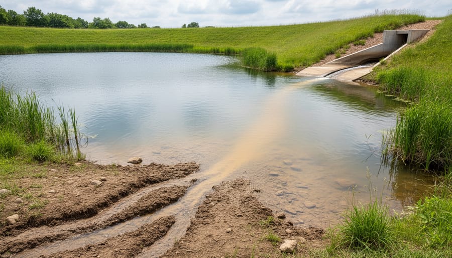
For runoff calculations, size your overflow spillway accordingly. If SWAT predicts 500 gallons pouring into your pond during a typical storm, your spillway must handle that surge without eroding pond slopes or flooding neighboring areas. Build wider or add rock armoring if the numbers suggest it.
Low predicted runoff? You might need a backup water source, rain barrels, well water, or municipal supply, to top off the pond during dry spells. Adjust your pond’s depth based on evaporation estimates; shallow features in hot climates lose more water, so go deeper if SWAT shows limited inflow.
Finally, reconsider location if the model reveals poor drainage or excessive sediment transport. Moving the pond upslope or away from heavy runoff paths can save you years of maintenance headaches.
Validating SWAT Predictions with Real-World Testing
SWAT gives you a head start, but models work from averages and assumptions. Your actual site has quirks the software can’t see. The smart move? Test what SWAT predicts against what really happens on your property.
Start with a basic percolation test in the area where you plan to dig. Dig a hole about 12 inches deep and 6 inches wide, fill it with water, and let it drain completely. Fill it again and time how long it takes for the water level to drop one inch. If SWAT suggested your soil drains moderately but the water sits for hours, you’ve got valuable intel that trumps the model. Clay layers, hardpan, or compacted subsoil won’t show up in regional soil databases, but they’ll show up in your hole.
Watch what happens during actual rain events. After a moderate storm, walk your site and note where water pools, how fast it drains, and which areas stay soggy. Take photos. If SWAT predicted modest runoff but you’re seeing streams form across your yard, adjust your overflow plans accordingly. Seasonal observation matters too. Check your site in spring when the water table peaks and again in late summer when it’s lowest. Dig a shallow test pit or install a simple observation well (a PVC pipe sunk a few feet down) to track groundwater levels over a few months.
Compare everything back to SWAT’s outputs. Close match? Great, proceed with confidence. Big gaps? Dig deeper, literally and figuratively. A professional site assessment might be worth it if predictions and reality don’t align. Models get you in the ballpark, but dirt and water have the final say.
What to Do Next After Your Assessment
With your SWAT assessment in hand, you’re ready to translate those predictions into concrete pond plans. Start by revisiting your initial design sketch and adjusting it based on what you learned about runoff volumes and infiltration rates. If SWAT showed low infiltration, you’ll likely need a liner. High runoff predictions? Plan for a larger overflow spillway or redirect excess water away from the pond.
Now’s the time to loop in professionals if your project warrants it. Share your SWAT data with excavators, they’ll appreciate having soil and hydrology information upfront, which helps them quote accurately and avoid surprises. For complex sites with steep slopes or drainage challenges, a landscape engineer can refine your water management plan.
Sketch out drainage features like swales, berms, or catch basins based on your runoff findings. Map where water will enter and exit your pond during storms. These details prevent erosion and protect your investment.
Before you break ground, walk your site during a heavy rain. Watch how water actually moves, it’s the ultimate validation. If conditions don’t match your assessment, dig deeper into why before proceeding.
Keep your SWAT data filed away. Site conditions evolve with weather patterns and landscape changes. Revisit your assessment if you expand the pond or alter surrounding drainage.
Common Questions About Using SWAT for Pond Planning
Most pond builders have the same questions when they first hear about SWAT. Here’s what you need to know before diving in.
Can I use SWAT for a small backyard pond?
SWAT was designed for watershed-scale analysis, so it’s often overkill for a typical backyard pond of 1,000 square feet or less. For small residential projects, simplified runoff calculators and hands-on soil testing will give you the practical information you need without the complexity.
Do I need special software to run a SWAT assessment?
Full SWAT software requires technical knowledge and GIS skills, but you don’t necessarily need it. Many online hydrology calculators use SWAT principles in simplified form, letting you estimate runoff and infiltration with basic site data. These tools are much more accessible for DIY pond builders.
How accurate are SWAT predictions for pond sites?
SWAT provides useful estimates, but it’s a model, not a guarantee. Accuracy depends heavily on the quality of your input data and how well the model accounts for local conditions. Always validate SWAT predictions with real-world observation and soil testing before making final design decisions.
What if my soil type isn’t in the SWAT database?
If your exact soil classification isn’t listed, choose the closest match based on texture and drainage characteristics. You can also supplement with a percolation test to measure actual infiltration rates, which gives you site-specific data that’s often more reliable than modeled estimates anyway.
The bottom line? SWAT is a powerful tool when used appropriately, but it’s not essential for every pond project. If you’re working on a larger property, managing significant runoff, or dealing with complex hydrology, SWAT can help you make smarter decisions. For smaller garden ponds or straightforward sites, stick with direct observation, soil tests, and common sense. The best approach combines modeling with hands-on assessment, giving you both the big picture and the ground truth your pond needs to succeed.
Using SWAT for your pond site planning gives you a solid head start, but remember it’s just one piece of the puzzle. The real magic happens when you combine these predictions with hands-on soil testing, watching how water actually moves across your property during a storm, and paying attention to seasonal changes in your water table. No model can replace getting your boots muddy and truly understanding your land.
Think of SWAT as your planning partner, not your final answer. It helps you ask the right questions, spot potential problems before you start digging, and make smarter decisions about liners, drainage, and water sources. That upfront effort saves you from headaches later, like discovering your dream pond location turns into a muddy mess every spring, or that you need twice as much liner as you budgeted for.
Whether you’re building a simple backyard water feature or a larger pond, informed planning pays off. You’ll spend less time fixing problems and more time enjoying the finished result. Ready to dive deeper into pond construction? Explore more guides and resources here at Clear Waters to help you create the pond you’ve been dreaming about.